Use Cases
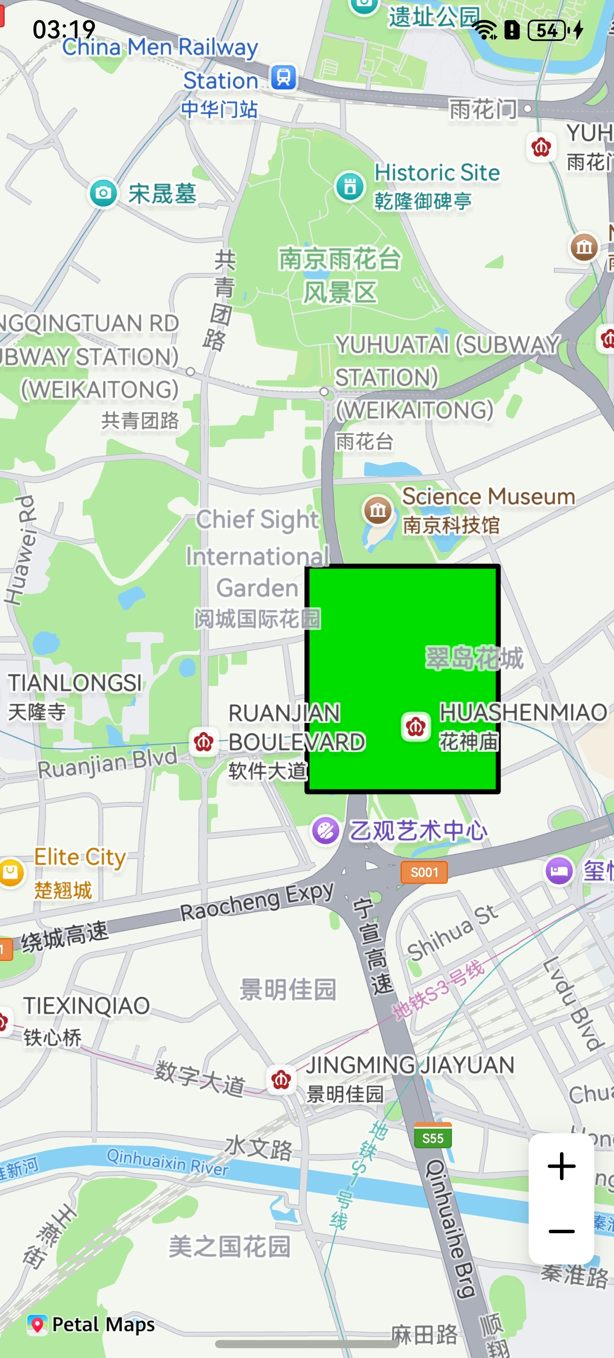
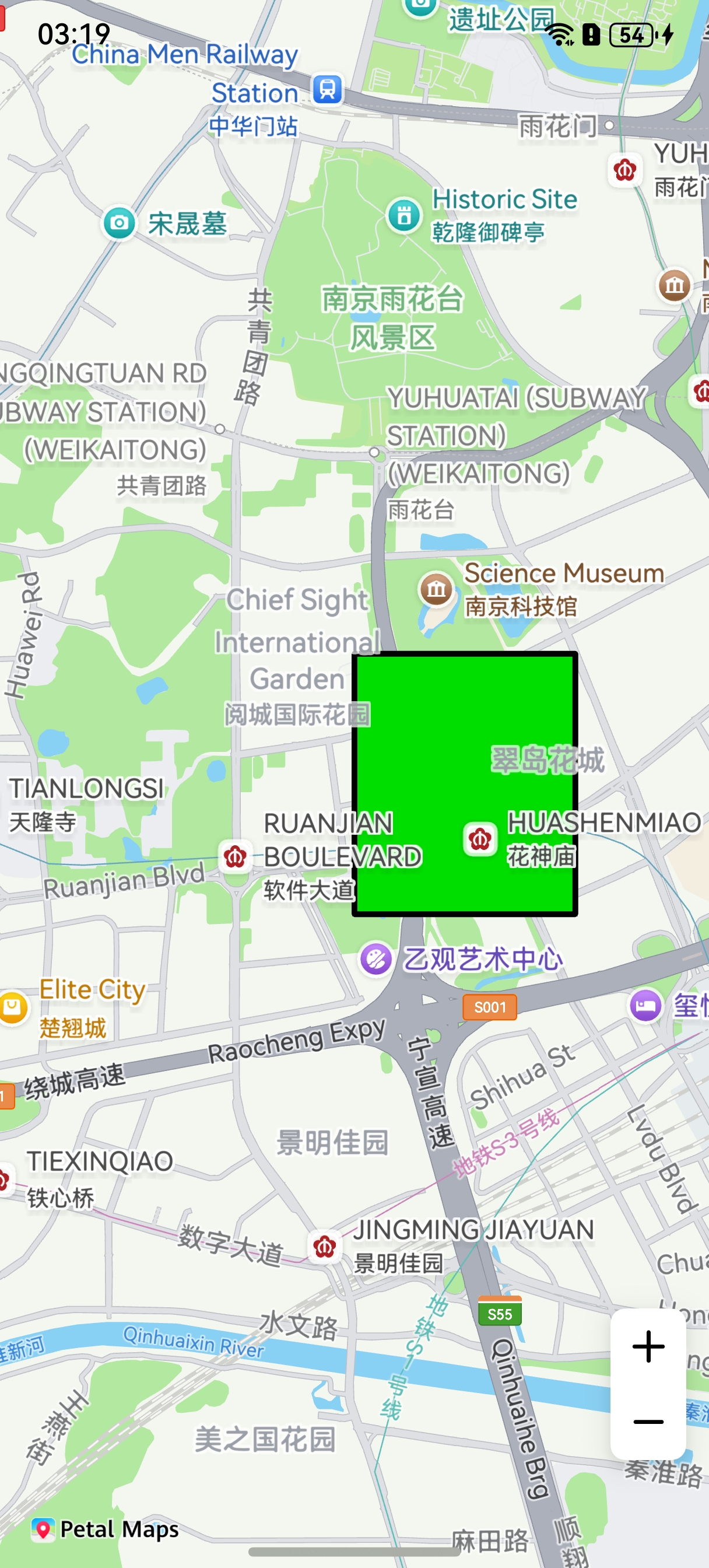
This section describes how to draw a MapPolygon on a map.
A MapPolygon is used to identify closed areas such as communities, schools, and business districts, and display the boundaries of administrative regions such as provinces, cities, and districts/counties.
API Description
The MapPolygon adding function is mainly provided by MapPolygonOptions, addPolygon, and MapPolygon. For more information about the APIs, please refer to API Reference.
| API | Description |
|---|---|
| MapPolygonOptions | MapPolygon parameters. |
| addPolygon(options: mapCommon.MapPolygonOptions): Promise<MapPolygon> | Adds a MapPolygon to a map. |
| MapPolygon | MapPolygon. This API supports updating and querying MapPolygon attributes. |
Development Procedure
-
Import required modules.
import { MapComponent, mapCommon, map } from '@kit.MapKit'; import { AsyncCallback } from '@kit.BasicServicesKit'; -
Add a MapPolygon. Create initialization parameters in the callback method, and create a MapPolygon.
@Entry
@Component
struct MapPolygonDemo {
  // ...
  private mapOptions?: mapCommon.MapOptions;
  private mapController?: map.MapComponentController;
  private callback?: AsyncCallback<map.MapComponentController>;
  private mapPolygon?: map.MapPolygon;

  aboutToAppear(): void {
    // Map initialization parameters.
    this.mapOptions = {
      position: {
        target: {
          latitude: 31.98,
          longitude: 118.78
        },
        zoom: 14
      }
    };
    this.callback = async (err, mapController) => {
      if (!err) {
        this.mapController = mapController;
        // MapPolygon initialization parameters.
        let polygonOptions: mapCommon.MapPolygonOptions = {
          points: [
            { longitude: 118.78, latitude: 31.975 },
            { longitude: 118.78, latitude: 31.985 },
            { longitude: 118.79, latitude: 31.985 },
            { longitude: 118.79, latitude: 31.975 }
          ],
          clickable: true,
          fillColor: 0xff00DE00,
          geodesic: false,
          strokeColor: 0xff000000,
          jointType: mapCommon.JointType.DEFAULT,
          strokeWidth: 10,
          visible: true,
          zIndex: 10
        }
        // Create a MapPolygon.
        try {
          this.mapPolygon = await this.mapController.addPolygon(polygonOptions);
        } catch (e) {
          console.error(`Failed to create the mapPolygon. Code: ${e.code}; message: ${e.message}`);
        }
      } else {
        console.error(`Failed to initialize the map. Code: ${err.code}; message: ${err.message}`);
      }
    };
  }

  build() {
    // ...
      Stack() {
        Column() {
          MapComponent({ mapOptions: this.mapOptions, mapCallback: this.callback });
        }.width('100%')
      }.height('100%')

      // ...
  }
}